
Locality Dashboard
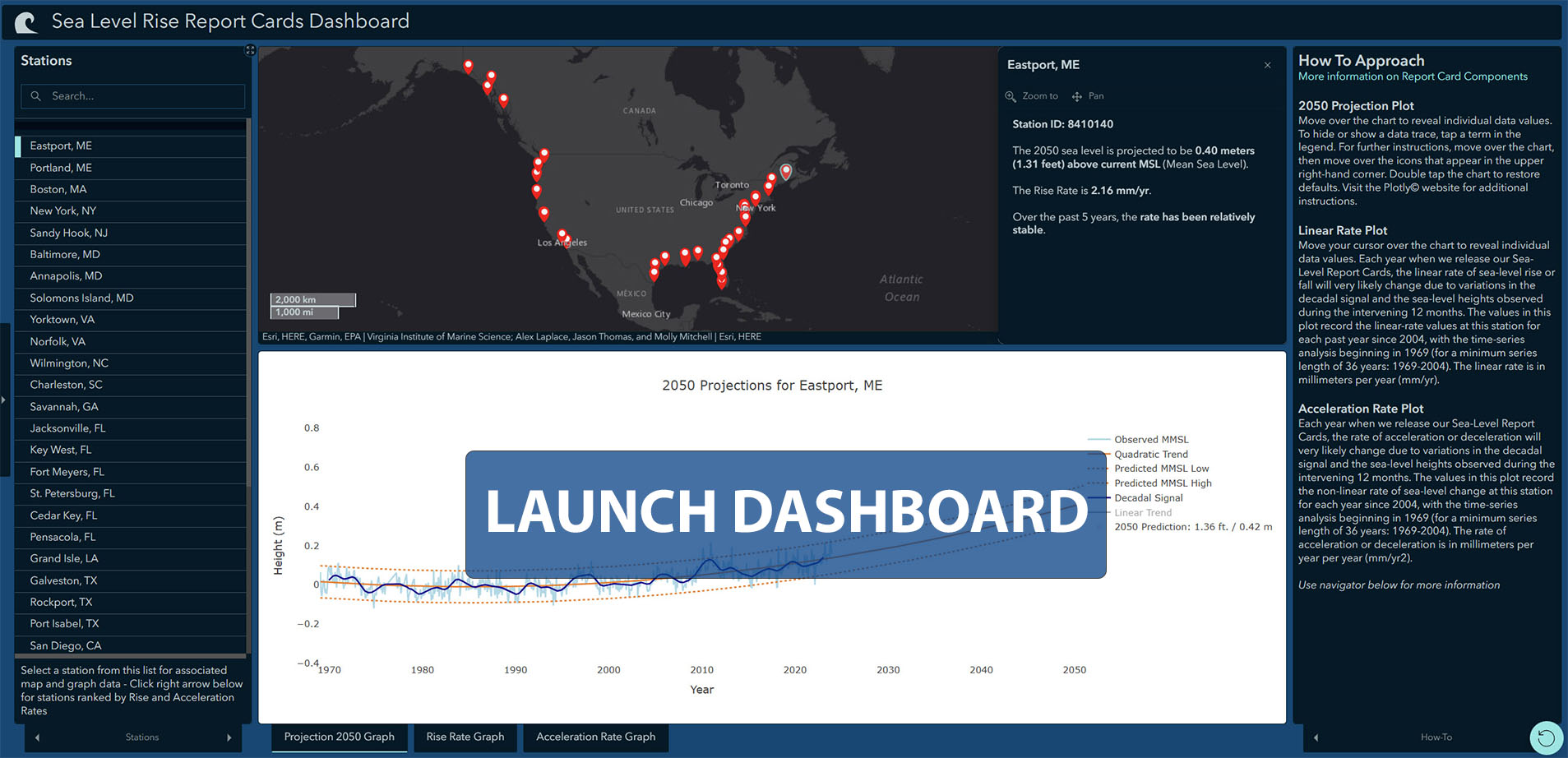
Click on the image below to launch the sea level report card dashboard. Select a locality using the list located on the left side of the dashboard to display the 2050 projection, rise rate and acceleration-rate graphs for each station. Additional information on how to use the dashboard is located in the right-hand column.