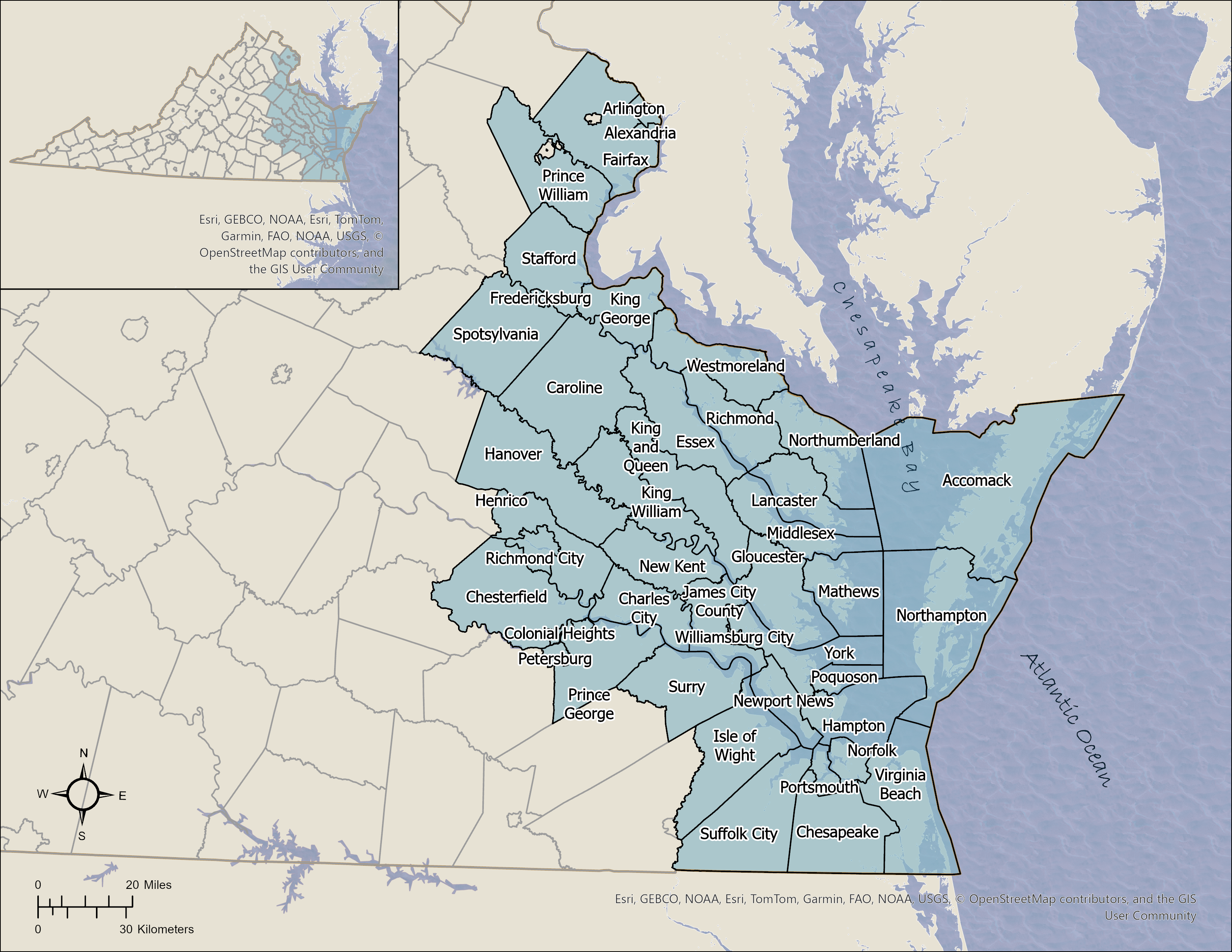

Virginia's Coastal Zone Locality Portals
Select a locality from the list or page menu. Each locality portal is a gateway to current and historic shoreline management information, including interactive mapping tools, shoreline and tidal marsh inventory reports, sea level rise and flooding information, GIS data for downloading, and other locality-specific VIMS shoreline publications.
The Virginia General Assembly directed VIMS to provide general shoreline management guidance to coastal zone localities. Links to this information are also provided in each portal, including shoreline best management practices, comprehensive plan update guidance, and tidal shoreline laws and policies.
The locality portals are updated as new shoreline and tidal marsh inventories are completed.