SHOAL
Shallow Water Bathymetry
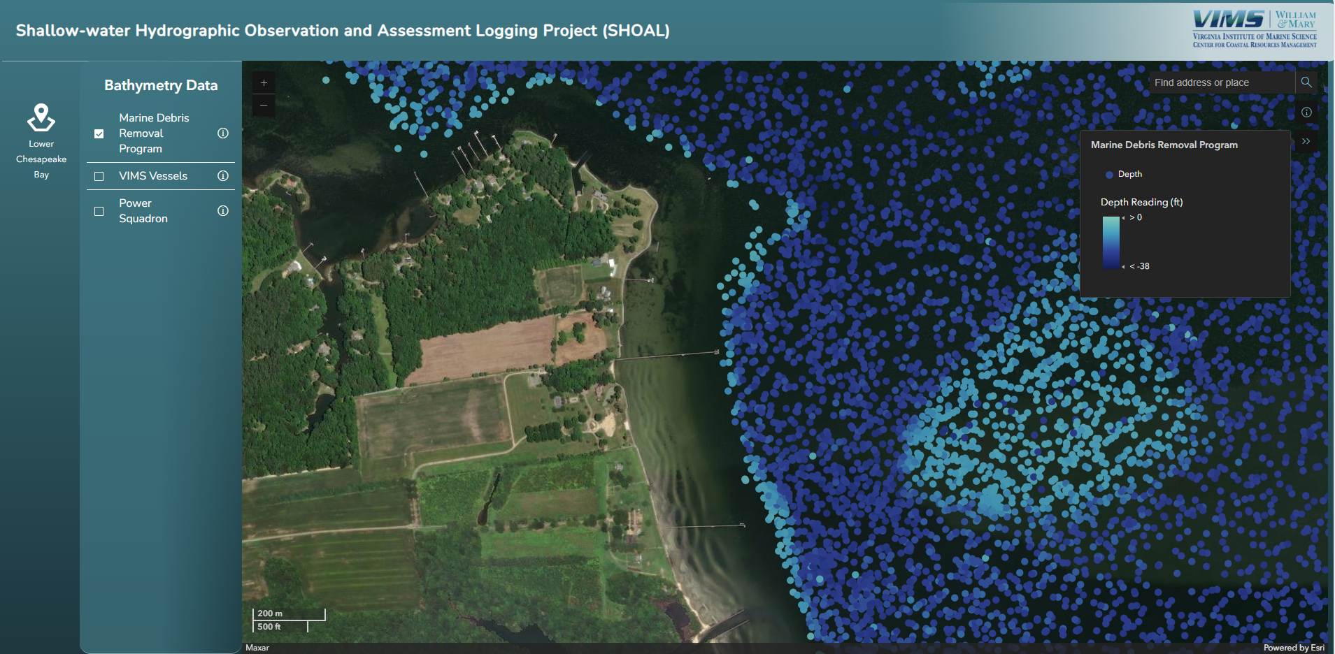
Shallow-Water Hydrographic Observation and Assessment Logging (SHOAL)
Collecting bathymetry data, which describes the depth and shape of the seafloor with respect to an accurate reference elevation point (or datum), is essential for working towards sustainable coastal communities and advancing our scientific understanding of coastal ecosystems, including ocean dynamics, hurricane and storm surge forecasting, fishing resources, sediment transport, and other environmental changes. Unfortunately, accurate bathymetry is available for less than 50% of the world's coastal waters.
The SHOAL Project is working to address this data gap by engaging mariners and partnering with groups such as the United States Power Squadrons and through community-based efforts, including recovery of lost fishing traps by fishers, to collect depth data.